How to create a new plugin
Introduction
The Processor is plugin based. Plugins are dynamic shared libraries written in C++. Ichnosat runs plugins for every downloaded product, creating processed products. The plugins are located in the path:
/usr/ichnosat/src/core/processing_pipe/scientific_processor/src/plugins
The Processor expects that the plugin exposes a method with prototype:
extern "C" void process(char * product_path, char * destination_path)
Where:
- product_path is the path of folder where the download product data is located
- destination_path is the path of folder where the plugin will save the processed image
These attributes are autogenerated via the Processor, so you haven’t to care about how to generate them, as plugin developer, just care about to read and write from these paths.
Put the processing code inside the process method, implementing your algorithm, reading from product_path the downloaded images, and writing the result in the destination_path.
Plugin Creation
To create a new plugin is enough to make a new directory in the folder:
/usr/ichnosat/src/core/processing_pipe/scientific_processor/src/plugins
with the name of your algorithm. The source code of your Plugin must be C/C++, the file extension must be ‘.cc’ and ‘.h’.
External libraries
We use GDAL in our NDVI algorithm implementation, to read and write jp2 and GeoTiff images. GDAL Library is available inside the environment of Ichnosat, so you haven’t to care about how to install and/or configure GDAL, just include it in your C/C++ code.
Build a Plugin
Ichnosat contains the environment to compile the plugins. When Ichnosat starts (docker-compose up), Ichnosat compile all plugins present in the path usr/ichnosat/src/core/processing_pipe/scientific_processor/src/plugins. The logs of compilation are streamed in the ichnosat.log log file, located in the path:
/usr/ichnosat/data_local/log/ichnosat.log
Example of compiling process logs:
02/07/2017 08:45:00 PM (PluginManager:compile_plugins) start
02/07/2017 08:45:03 PM (ichnosat-manager) Completed compile NDVI plugin
02/07/2017 08:45:03 PM (ichnosat-manager) COMPLETED compile scientific_processor plugins
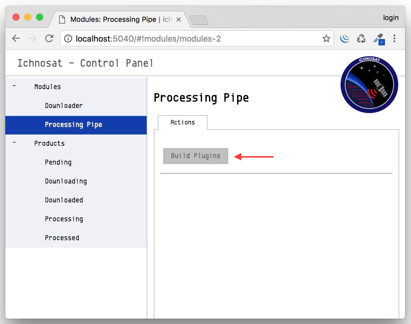
It is also possible to compile plugins from Graphical User Interface, clicking on the button with label ‘Build Plugins’, in the section ‘Modules/Processing Pipe’:
Anatomy of a Processor plugin
An example of code structure of a plugin follows:
Implementation of Processor interface
Class declaration
//    ====================================================================================
//     __     ______     __  __     __   __     ______     ______     ______     ______
//    /\ \   /\  ___\   /\ \_\ \   /\ "-.\ \   /\  __ \   /\  ___\   /\  __ \   /\__  _\
//    \ \ \  \ \ \____  \ \  __ \  \ \ \-.  \  \ \ \/\ \  \ \___  \  \ \  __ \  \/_/\ \/
//     \ \_\  \ \_____\  \ \_\ \_\  \ \_\\"\_\  \ \_____\  \/\_____\  \ \_\ \_\    \ \_\
//      \/_/   \/_____/   \/_/\/_/   \/_/ \/_/   \/_____/   \/_____/   \/_/\/_/     \/_/
//
//    ====================================================================================
//
//    Copyright (c) 2017 Yourname
//
//    LICENSE OF YOUR PLUGIN
//
//    ====================================================================================

#ifndef __MYPLUGIN_CLASS_H__
#define __MYPLUGIN_CLASS_H__

class MyPlugin{

 private:
   void process_algorithm(GDALRasterBand * band01, /* your algorithm attributes */, float *  raster);

 public:
   void process(char *  product_path, char * destination_path);

};

#endif
Class methods implementation
The steps of a processing plugin could be:
- constants definition
- setup GDAL: create a driver to write output files
- load gadl drivers
- load driver
- open input files
- extract the gdal dataset from input image
- release unused memory
- get band from dataset
- get raster data
- allocate raster matrix of output
- create new file
- copy geo tranformation information from input file to output file
- copy projection information from input file to output file
- process raster data
- write data to output file
- close file and release memory
A snippet of C++ code as example follows:
//    ====================================================================================
//     __     ______     __  __     __   __     ______     ______     ______     ______
//    /\ \   /\  ___\   /\ \_\ \   /\ "-.\ \   /\  __ \   /\  ___\   /\  __ \   /\__  _\
//    \ \ \  \ \ \____  \ \  __ \  \ \ \-.  \  \ \ \/\ \  \ \___  \  \ \  __ \  \/_/\ \/
//     \ \_\  \ \_____\  \ \_\ \_\  \ \_\\"\_\  \ \_____\  \/\_____\  \ \_\ \_\    \ \_\
//      \/_/   \/_____/   \/_/\/_/   \/_/ \/_/   \/_____/   \/_____/   \/_/\/_/     \/_/
//
//    ====================================================================================
//
//    Copyright (c) 2017 Yourname
//
//    LICENSE OF YOUR PLUGIN
//
//    ====================================================================================

#include <stdio.h>
#include <iostream>
#include <string>
#include <stdlib.h>
#include <limits>
#include "cpl_port.h"
#include "gdal.h"

// your libraries inclusion ...


void MyPlugin::process_algorithm( GDALRasterBand * band01, /* your algorithm attributes */, float *  raster){
  /* processing algorithm implementation */
}


void MyPlugin::process(char * product_path, char * destination_path){

  /* constants definition ...*/

  //  -- SETUP GDAL: CREATE A DRIVER TO WRITE OUTPUT FILES --

  GDALDriver * poDriver;

  // load gadl drivers
  GDALAllRegister();

  // load driver
  poDriver = GetGDALDriverManager()->GetDriverByName(/*GDAL DRIVER OF YOUR OUTPUT DATA FORMAT*/);

  // -- OPEN INPUT FILES --
  char * input_file1_path = concat_string(product_path, INPUT_FILENAME_1);

  // extract the gdal dataset from input image
  GDALDataset * dataset = (GDALDataset *) GDALOpen( ( const char *) input_file1_path, GA_ReadOnly );

  // release the memory
  if(band4_path != NULL) CPLFree( (void * ) input_file1_path);


  // get band from dataset
  GDALRasterBand  * band01;
  band01 = dataset->GetRasterBand( 1 );


  // get raster data
  int   nXSize = band01->GetXSize();
  int   nYSize = band01->GetYSize();

  // allocate raster matrix of output
  float * raster = (float *) CPLMalloc(sizeof(float)*nXSize * sizeof(float)*nYSize) ;

  // create new file
  GDALDataset * output_dataset = poDriver->Create( concat_string(destination_path,
                                                   /* Processed product file name */),
                                                   nXSize,
                                                   nYSize,
                                                   1,
                                                   GDT_Float32,
                                                   NULL );

  // copy geo tranformation information from input file to output file
  double adfGeoTransform[6];
  band4_dataset->GetGeoTransform(adfGeoTransform);
  nvdi_dataset->SetGeoTransform( adfGeoTransform );

  // copy projection information from input file to output file
  const char * pszProjection;
  pszProjection = band4_dataset->GetProjectionRef();
  nvdi_dataset->SetProjection(pszProjection);

  // process raster data
  this->process_algorithm(band01, /* your algorithm attributes */, raster);

  // write data
  CPLErr err = output_dataset->RasterIO(GF_Write,
                                 0,
                                 0,
                                 nXSize,
                                 nYSize,
                                 raster,
                                 nXSize,
                                 nYSize,
                                 GDT_Float32,
                                 1,
                                 NULL,
                                 0,
                                 0,
                                 0,
                                 NULL);

  if(err > 0) std::cout << "err: " << err << std::endl;

  // close file and release memory
  if( output_dataset != NULL ) GDALClose( (GDALDatasetH) output_dataset );
  if( dataset != NULL ) GDALClose( (GDALDatasetH) dataset );
  if( raster != NULL ) CPLFree( raster );

  return ;
}
Working plugin example
In the path
/usr/ichnosat/src/core/processing_pipe/scientific_processor/src/plugins/NDVI
there is a working example of Ichnosat plugin to calculate Normalized Difference Vegetation Index.